What is LIDAR?
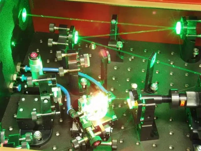
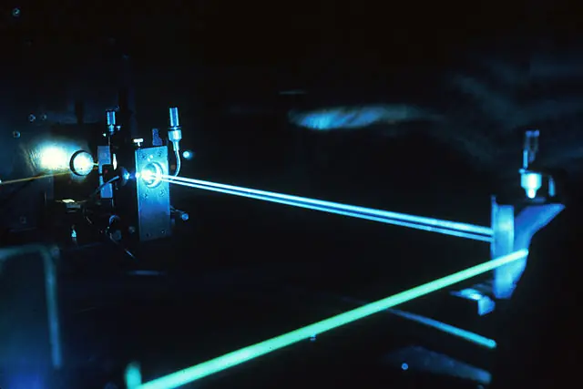
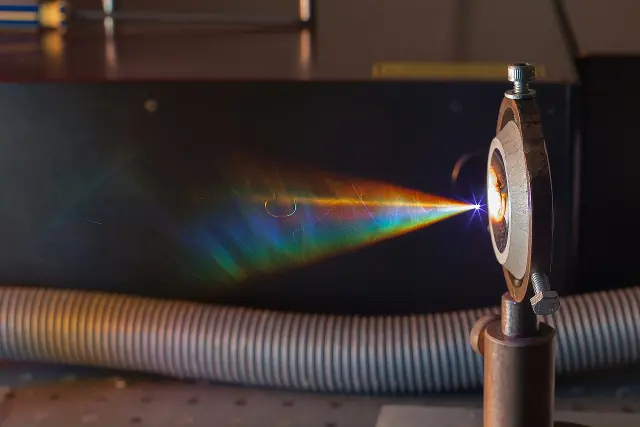
LIDAR (Light Detection and Ranging) is a remote sensing technology that uses lasers to measure distances. It works by emitting a laser beam and measuring the time it takes for the beam to travel to the target and back. By measuring the round-trip time of the laser and the speed of light, the distance to the target can be calculated.
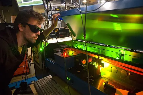
LIDAR systems consist of a laser, a scanner, and a detector. The laser emits short pulses of light that are directed towards the target by the scanner. When the laser pulses hit the target, some of the light is reflected back towards the detector. The detector measures the time it takes for the light to return and the system calculates the distance to the target based on the speed of light and the round-trip time of the laser pulse.
LIDAR can be used to measure the distance to a single point or to scan a wider area by sweeping the laser beam across the target. It can also be used to measure the velocity of objects by measuring the Doppler shift of the returning laser beam.
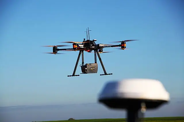
LIDAR has a number of applications, including mapping the surface of the earth, measuring the height of trees and buildings, and making high-resolution maps of objects. It is also used in self-driving cars to create a 3D map of the surrounding environment and to detect obstacles.